![]()
The Brazilian government has built a map to help commodity exporters comply with the European Union’s new regulation on deforestation-free products, or EUDR.
The country’s National Space Research Institute, INPE, created new technology to generate deforestation data in polygons of a half-hectare (1.2-acre) threshold — one of the EUDR requirements. Brazil’s official deforestation data for the Amazon comes from INPE’s satellite-based monitoring system, PRODES, which uses a one-hectare threshold. “It was the first time we did [this in] less than 1 hectare [2.5 acres],” Claudio Almeida, coordinator of INPE’s BiomasBR monitoring program, told Mongabay by phone.
The EUDR, when it comes into effect at the end of 2026 (delayed for the second year in a row), will require suppliers to provide geolocalized data and other documentation to prove that their products exported to the EU aren’t sourced from areas illegally deforested after Dec. 31, 2020. The legislation aims to address increasing claims of products imported into the EU being linked to illegal deforestation, including in the Amazon Rainforest, and will target seven commodities: soy, cattle, rubber, palm oil,coffee, cocoa and timber.
 Graphic by Andrés Alegría/Mongabay.
PRODES’ annual deforestation rate refers to data from Aug. 1 from the previous year to July 31 in the following year, but INPE also used high resolution satellite imagery and developed new technology to produce deforestation data with the cutoff date required by EUDR, Almeida said.
December is the start of the Amazon rainy season, which poses challenges to track deforestation due to the high incidence of clouds. “It’s a period when it rains a lot, there are always a lot of clouds, so it’s very difficult to get good quality images,” Almeida said.

A front-end loader moves legal timber harvested from a managed forestry area for use in the Concrem Group’s wood factory in Paragominas, northern state of Para, Brazil. Paragominas has become a pioneering “Green City,” a model of sustainability with a new economic approach that has seen illegal deforestation virtually halted. Experts say the metamorphosis is the best hope for showing the 25 million people who live in the Amazon that the forest is worth more alive than dead. “Green City” plan aims to halt all illegal deforestation through a mix of enforcement, the creation of the Amazon’s only local environmental police force, and promotion of an economy that doesn’t rely on clearing jungle. Instead, the focus is on sustainable development, using managed forestry for a wood industry, and introducing modern farming techniques to increase production while using less land. Image by AP Photo/Andre Penner.
To tackle this, he added, INPE created a new tool, Brazil Data Cube (BDC), which captures all remote sensing images of a period to produce data sets that are processed and analyzed through a computational platform that uses artificial intelligence, machine learning and time series analysis of images. “With this BDC technology that creates these data cubes, I can select the best ones, because it takes one pixel from one image, another pixel from another, another pixel from another, and manages to assemble a scene that is as cloud-free as possible. With that, you can do mapping during a period when we normally wouldn’t be able to due to this cloud problem.”
However, as there were some areas still covered with clouds even after using BDC, he said, radar images were used to get accurate information. “One hundred percent of the territory — we didn’t just do it for the Amazon, we did it for all of Brazil — is mapped in December 2020 to comply with the European legislation.”
![]()
All in one place
INPE’s map was built per request of the agriculture ministry, which made it available for rural producers in late December 2025 through the platform Agro Brasil + Sustentável (Brazil Agro + Sustainable), aimed at integrating information from official databases of public and private institutions to generate traceable and reliable information on Brazil’s agricultural production’s sustainability in terms of socioenvironmental issues and governance.
Mongabay has previously reported about the agriculture industry’s pressure on the government to have official data they could rely on to comply with EUDR, which, in addition to proving there was no deforestation, requires that areas where commodities are produced are not linked to social, land or enslaved labor issues.
“We already had this desire, but we accelerated the construction of the platform and made the service available to users because of the EUDR. We needed to offer a public, universal, free tool to producers so that they could issue all the necessary documents for due diligence,” Lara Line Pereira de Souza, general coordinator of plant production at the agriculture ministry’s department of supply chains and geographical indications, told Mongabay in a video interview.
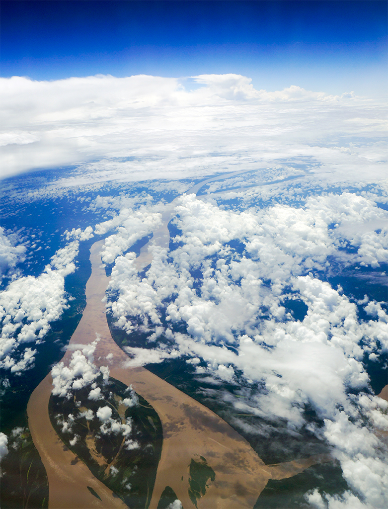
Clouds above the Amazon River, Brazil. Image by Powhusku via Flickr (CC BY-SA 2.0).
Souza noted there are various databases and initiatives from both the private and public sectors, including a traceability platform from the coffee industry and the IBAMA environmental agency’s databases of embargoed areas, but it lacked a single place to gather all this information at once.
“Our job here within the platform is simply to bring together these pieces of information from various excellent databases in one place, to provide this overview of the property’s situation, whether it be in the form of a rating or just a checklist to see if it meets the requirements or not,” she added.
Launched in 2024, the platform first made available information to be used by rural producers to comply with requirements of the local market, allowing the use of the information to apply for rural credit with lower rates, Souza said. “It’s an opportunity to show the market, whether domestic or foreign, the sustainability of our agricultural production.”
One of the sectors that requested the government provide official data to fulfill EUDR specifications was the vegetable oil industry: soy meal accounts for a third of Brazil exports, half of which go to Europe, according to the Brazilian Association of Vegetable Oil Industries (Abiove).
André Nassar, Abiove’s executive president, said most of the soy exporters “were ready” and many were even “discussing contracts,” as they had set new business structures to provide 100% traceability according to EUDR requirements, but they were “concerned” whether European authorities would accept the documentation they were submitting to prove that all the products they have purchased and processed complied with the law.

Highway BR-163 stretches between the Tapajos National Forest, left, and a soy field in Belterra, Para state, Brazil. Highway BR-163, built during the military dictatorship in the 1970s, connects areas of strong support for former President Jair Bolsonaro, who lost October’s election. Image by AP Photo/Leo Correa.
“The big issue that became key for us was proving legality,” Nasser told Mongabay by phone, citing dry runs showing that European authorities “often have their own interpretation of the documentation that must be presented to prove compliance with Brazilian law.”
“We support the platform, no question about it,” Nasser said. But he noted that he’s yet to check its functionality and compatibility to demonstrate the company’s fulfillment of all EUDR requirements. “And, of course, having the ministry of agriculture informing European countries that in Brazil, the platform is the tool endorsed by the Brazilian government.”
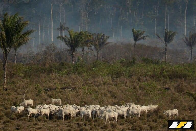
Banner image: Cattle stand near a wooded area smoldering in the Alvorada da Amazonia region in Novo Progresso, Para state. Leaders of the Group of Seven nations said Sunday they are preparing to help Brazil battle fires burning across the Amazon region and repair the damage as tens of thousands of soldiers got ready to join the fight against blazes that have caused global alarm. Image by AP Photo/Leo Correa.
![]()
![]()